|
| *****SWAAG_ID***** | 401 |
| Date Entered | 16/12/2011 |
| Updated on | 16/12/2011 |
| Recorded by | Tim Laurie |
| Category | Settlement |
| Record Type | Archaeology |
| SWAAG Site | Downholme Moor |
| Record Date | 01/01/2005 |
| Location | How Hill Downholme |
| Civil Parish | Downholme |
| Brit. National Grid | |
| Altitude | 250m |
| Geology | Faulted and folded limestone and chert strata which are well seen in the small quarry at the base of the hill,near the public right of way on the southern side. |
| Record Name | How Hill, Downholme. Defended settlement or univallate hill fort. |
| Record Description | See AP,s and photos from Side Bank Road.
Defended settlement or possible univallate hill fort defined by a relatively slight ditch and surmounting bank (remains of a stone enclosure or rampart?) visible as a surviving earthwork only on uppermost steep western and northern perimeter of the Hill. This ditch is not visible on the eastern and southern perimeter where any such earthworks have been slighted by prominent strip fields of medieval and post medieval age.
The prominent base of one (later) large rectangular building associated with a field bank can be discerned on the summit of the Hill.
Geophysical survey of the NE quadrant of the summit of How Hill commisioned by DEfence Estates has confirmed the presence of several ring groove round houses characteristic of Late Iron Age or Native Roman occupation on the summit of this strategic hill which commands the southern approaches to Swaledale. |
| Dimensions | See photographs |
| Additional Notes | The surviving earthwork bank and ditch on How Hill was independently and simultaneously first recognised from the air by Robert White and on during fieldwork on the ground by the Writer. |
| Image 1 ID | 1745 Click image to enlarge |
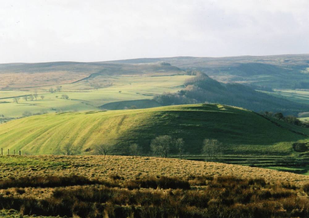
| Image 1 Description | How Hill Downholme from road to Hudswell (Sidebank). Earthworks include NE corner of the enclosure ditch and intensive strip cultivation of later, medieval and post medieval date. |  |
| Image 2 ID | 1746 Click image to enlarge |
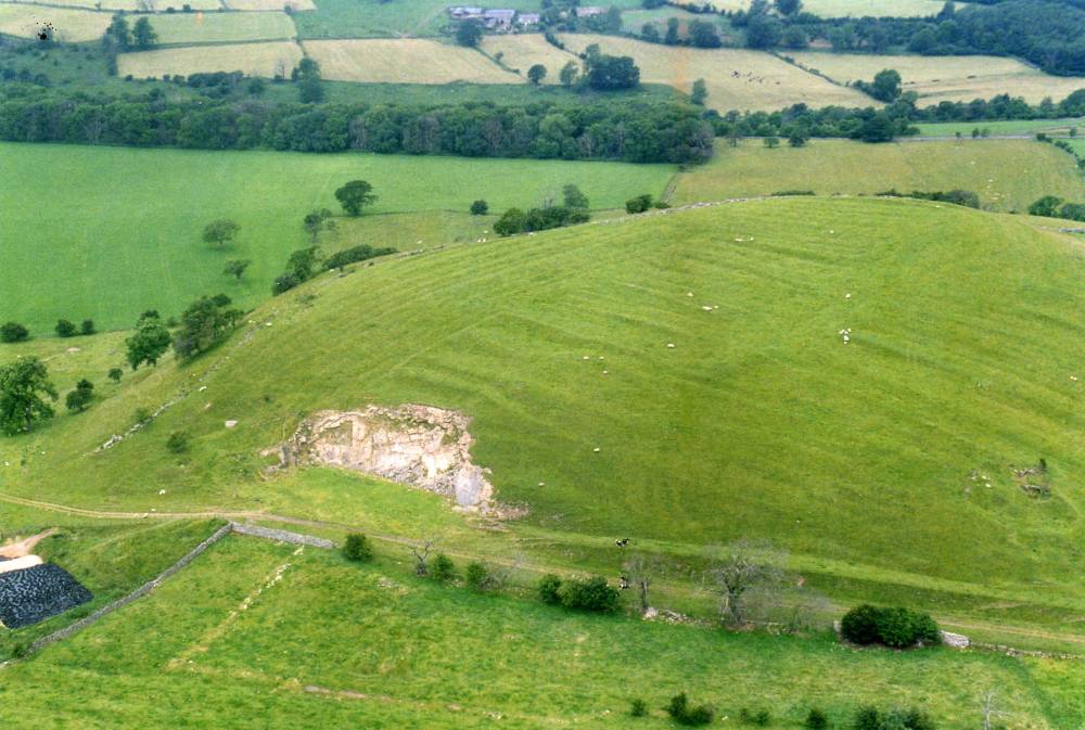
| Image 2 Description | Aerial photograph of How Hill from the North. Surviving earthwork ditch on the NE (Top LH) Quadrant of the summit and intensive strip cultivation over the whole of the remainder of the Hill.(A.P. R.F.White, YDNP) | 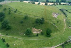 |
| Image 3 ID | 1747 Click image to enlarge |
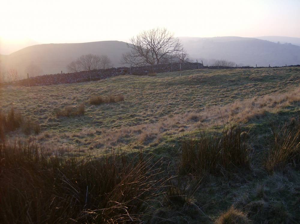
| Image 3 Description | How Hill photographed from the west.(A.P. R.F.White, YDNP) Vertically folded limestone strata which forms the Hill visible in small quarry | 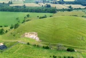 |
| Image 4 ID | 1731 Click image to enlarge |
| Image 4 Description | How Hill from Settlement Site 1 above Downholme Quarry, see also SWAAG400. |  |